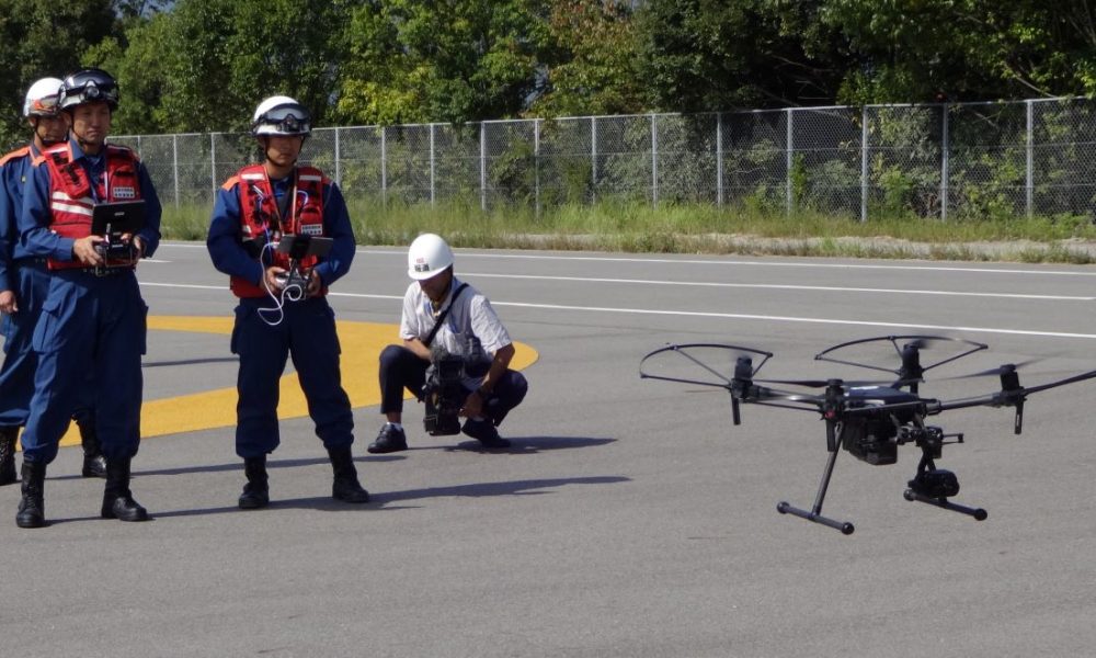
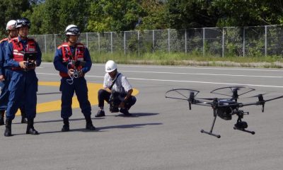

Researchers solved three issues related to the use of UAV-mounted laser scanners, allowing for more accurate surveying of construction sites and disaster zones.

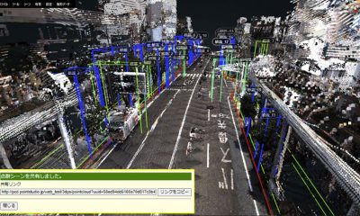

Award-winning "point cloud data" technology can digitally preserve historic structures, help in citiscape planning, disaster management, and road maintenance.